(+976) 11-354662
| info@tourmongolia.com | sales@tourmongolia.com

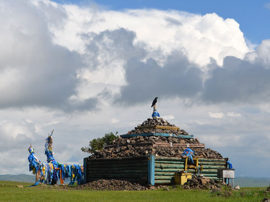
Binder Ovoo (ovoo- means cairn), is the shamanistic stone monument of great significance, which represents offerings to the spirits of the surrounding land. It is believed that the Binder Ovoo existed since the times of Chinggis Khaan.
The tradition of respecting the ‘ovoo’ has deep roots in the history of the Mongolian nomads. There is a deer stones of pre bronze and iron ages 2 km of north way from the Binder ovoo.
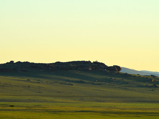
Situated in forest-and-steppe zone, Rashaan Khad area has attracted ancient nomadic herdsmen with its abundant forest and pasture resources. The presence of rich finds of stone tools of Paleolithic, Mesolithic, and Neolithic era, as well as, numerous rock inscriptions, deer stones of pre bronze and iron ages, and tombs of Khunnu and Kidan nobles clearly shows that Rashaan Khad area has been the very cradle of culture and civilization of Eastern Mongolia. Various pieces of pottery and crafts are still largely found in this area. Cliffs in surrounding area bear hundreds of images of animals, men, stamps of various clans, and writings of Orkhon, Enisey, Kidan, Arab, Persian, Mongolian, and Tibetan residents. Dwellers of Rashaan Khad habitat had made various stone tools and hunted wild ass, mammoth, and wooly rhinoceros, which all are depicted in their rock paintings. Rashaan Khad produces a small spring that locals revere as eye curing. Rashaan Khad also represents an important energy field and has been an important meditation refuge. Numerous nomads inhabit around the Rashaan Khad and this valley is also an important stop over for the water birds.
The Uglugch Wall is located 12 km north west of the Steppe eco camp. Uglugch Wall is a stone-wall of historic significance, which was built by the natural stones and without using concrete or clay. The wall is situated in the territory of Batshireet soum of Khentii province. It was built on the slope of the Daichin Uul forested mountain. Uglugch Wall has heights in various sections of 2- 4m and width of 3m. The wall had two entrances in the southern sections of 3 km each. There are no signs or traces of any buildings in the inner side of the fortress. But a stone stele located inside is referred to as Chinggis Khaans’ horse tying pole. The complex is one of the main heritages of Mongol civilization and dates to XII – XIV century Kidan period.
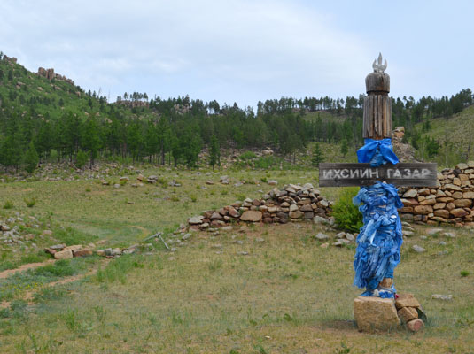
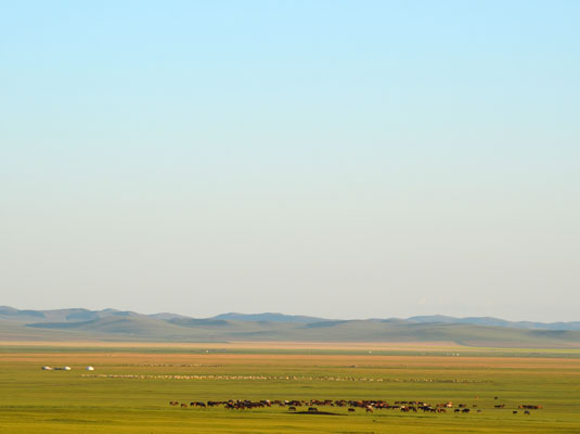
Wide open Khurkh valley is heaven for horses. From long ago till present it has been a homeland of horses. Qorqonag Jubur Khurkh valley Secret History of the Mongols §116 Northern latitude 48020’ Middle longitude 110025’ Temujin and Jamuha got together and set up camp in the Qorqonaq Jubur remembering how earlier on they became sworn friends, they said, “Let us renew once more our mutual pledge of friendship”. There they exchanged golden belts each other declared themselves friends by oath for the third time. Then they enjoyed themselves reveling and feasting.
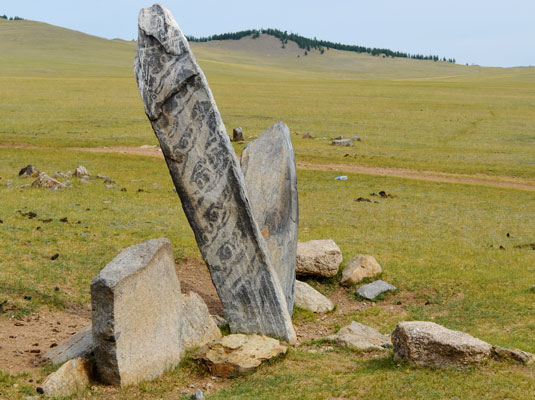
The area is in the buffer zone of Khan Khentii Strictly Protected Area, the natural and historical treasure of the country and declared by UNESCO as world heritage site and covers 1.2 million hectare area including forests, taiga, and mountain forest steppe. Jargalant valley is a part of this one of the world’s last great unharmed grassland ecosystems.
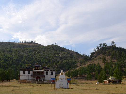
The monastery was established in 1784 by a Mongolian noble, Daichin Jonon Van Gombojav. Bereeven (Baldan Braibung) Khiid monastery used to house over 8000 Buddhist monks. It was the most significant religious center of the eastern part of Mongolia, which was also visited by thousands of Buryat pilgrims from the north.
